Streets in Cape Coral, Florida
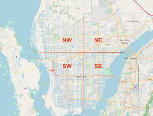
For the correct assessment of the Location of a vacation property, you should be familiar with the streets of Cape Coral. You have to know for better orientation, that the streets of Cape Coral are structured similarly to in Manhatten, New York. Cape Coral is divided into four zones: Southwest (SW), Southeast (SE), Northwest (NW) and Northeast (NE). Of the Santa Barbara Boulevard runs from north to south and divides the city into west and east, during the Hancock Bridge Parkway / Embers Parkway runs from east to west and divides the city into north and south. Where the two main streets cross, is this City center (Downtown on Google Maps).
Major roads: Boulevards and parkways
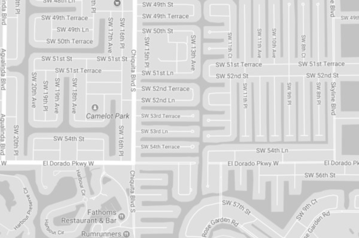
The streets between the main streets are numbered. The further you are from the center, the higher the numbers get. From north to south run alongside the Boulevard also Avenue (Ave), Place (Pl) and Court (Ct). The most famous streets are Santa Barbara Boulevard, Chiquita Boulevard und Del Prado Boulevard. The main roads can be used to travel all over the city. From east to west run next to that Parkway also Terrace (To have), Street (St) and Lane (Ln). The most famous cross streets are called the Veterans Memorial Parkway, Cape Coral Parkway und Kismet Parkway.
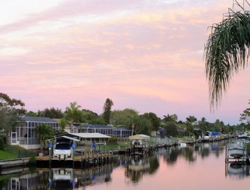
The address 2115 SE 15th St, Cape Coral, FL 33990 So let yourself be: House number 2115 im southeast the city on the 15. Street in Cape Coral, Florida with the Postal code 33990. This knowledge will help you research the popular American real estate marketplace Zillow, which I in the article Property prices in Cape Coral have described. The best places for vacation homes are naturally as close as possible to the Gulf of Mexico or the Caloosahatchee River. The prices for houses in streets are more affordable, which offer direct access to the water channels at the rear. But be careful: Not every canal leads to the River or the Gulf of Mexico. There are also dead ends!
You May Also Like

Cape Corel's best neighborhoods
27. May 2021
Use the real estate portal Zillow properly
25. May 2021


4 Comments
Pingback:
Pingback:
Pingback:
Pingback: